News
St. Peter's on York Station Wall
Posted 15th July 2020
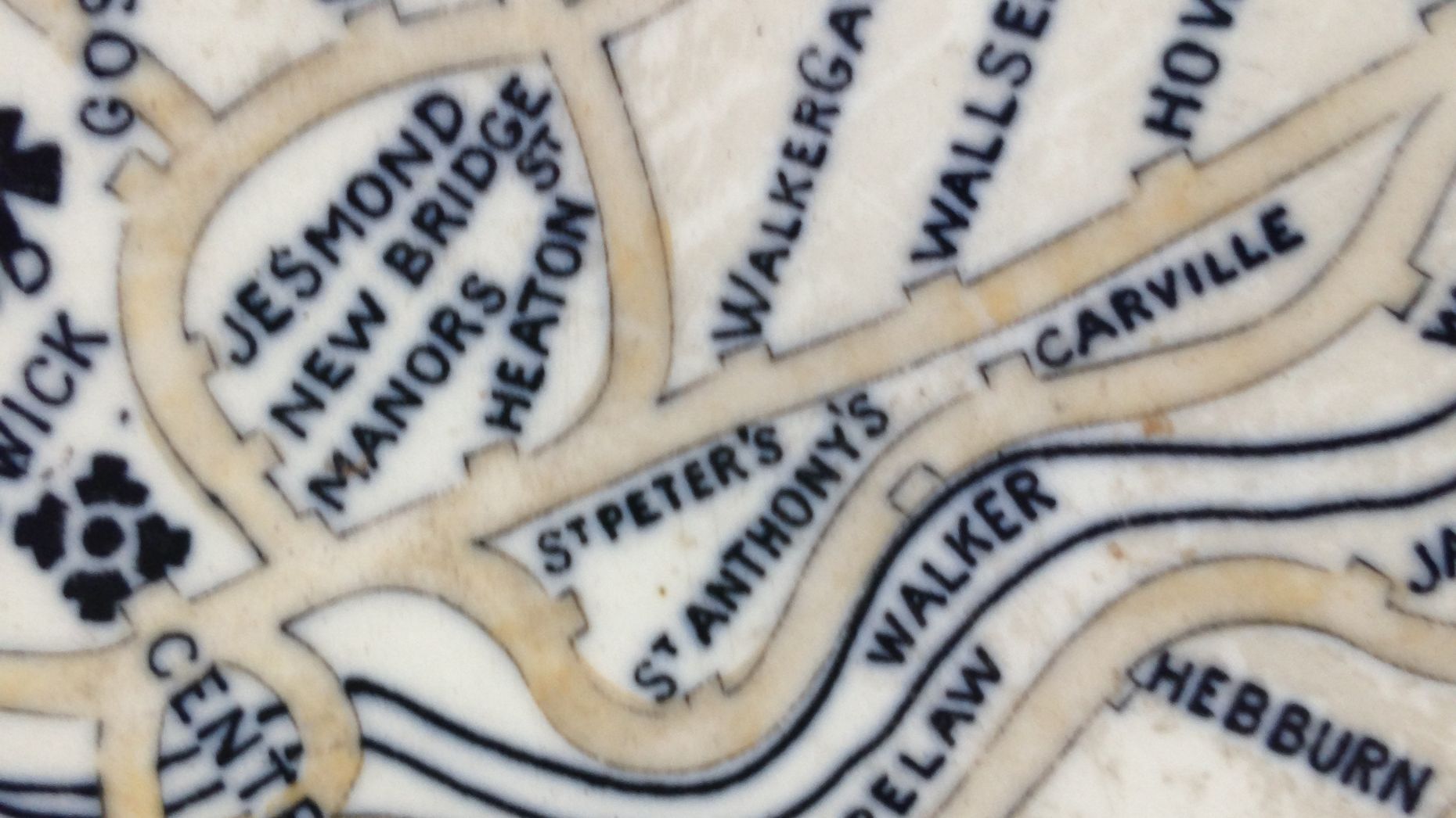
Not perhaps the most obvious location to think about, but St. Peter's can be found on the wall of world-famous railway hub York Station.
At the main passenger entrance, on the station wall is a historic map in ceramic tiles showing the the railway in our part of the world in 1900. Then St. Peter's had its own two-platform station and was on the Riverside Line linking Manors Station to the Coast and Newcastle City for both passengers and freight traffic.
The York Station map shows the railway system as it was then operated by the former North Eastern Railway company. In 1923, the company became part of the London and North Eastern Railway and in 1948 British Rail.
A comprehensive history of St Peter's Station, including an Ordnance Survey Map of the area in 1895 and Station pictures, can be seen by clicking on the link below:
http://disused-stations.org.uk/s/st.peters/index.shtml